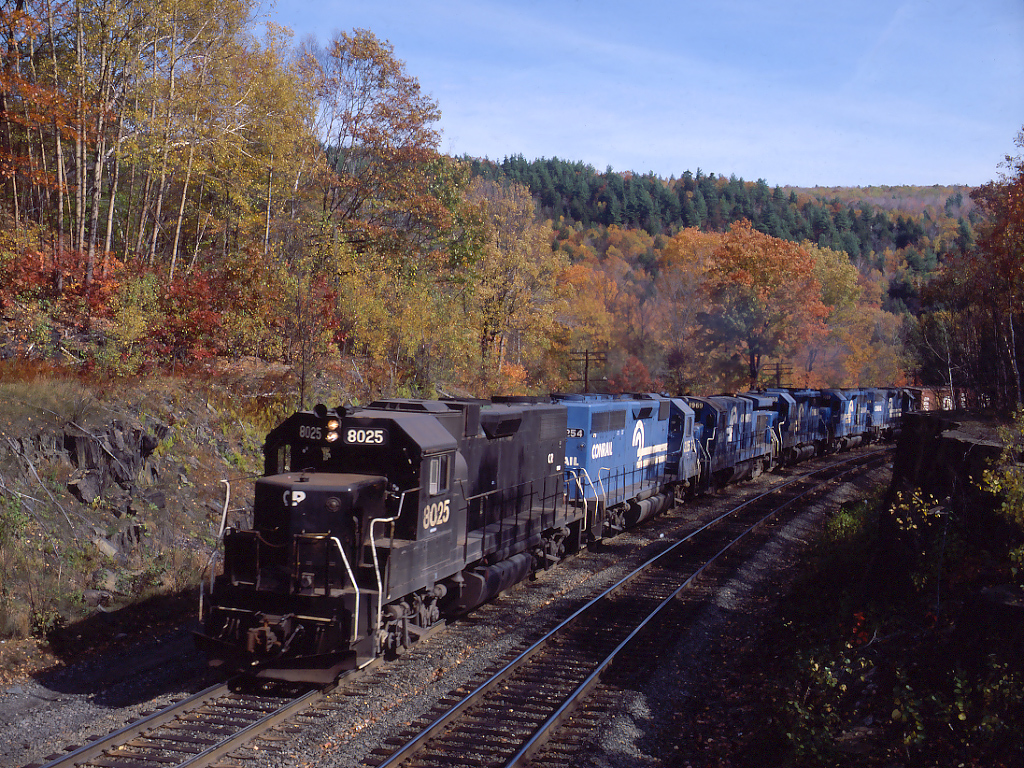
Westbound SPSE rounds the big horseshoe curve between MP 128 and MP 129 on Oct. 18, 1982. This location, about halfway around the curve at mile 128.5, is known as the "art colony", in reference to the ruins of a rather modernistic house and grounds in the woods to the north of the railroad. I've heard several stories regarding the place, but space here doesn't allow, and I'm not sure of the veracity of them.
Conrail Road Number
802,532,541,969
Builder
EMD
Predecessor Paint Scheme
PC
See More